
English| EUR
Suggested for you
More currencies
Choose a language
The Florida Keys form a 120-mile island chain accessible entirely by water—a fact that defines both their geography and their maritime culture. Whether you're piloting from mainland Florida or crossing the Gulf Stream from the Bahamas, understanding the routes, requirements and conditions makes the difference between a safe passage and a navigational challenge.
Quick answer
Yes, you can take a boat to the Florida Keys. The archipelago is accessible 24 hours daily via multiple marked channels including Hawk Channel along the Atlantic side and the Intracoastal Waterway along Florida Bay. Public waters require no entrance fee, though individual marinas charge docking fees that vary by facility. Daylight navigation between 7:00 AM and 5:00 PM is strongly recommended due to shallow coral flats, shifting sandbars and the density of navigational markers that require visual identification.
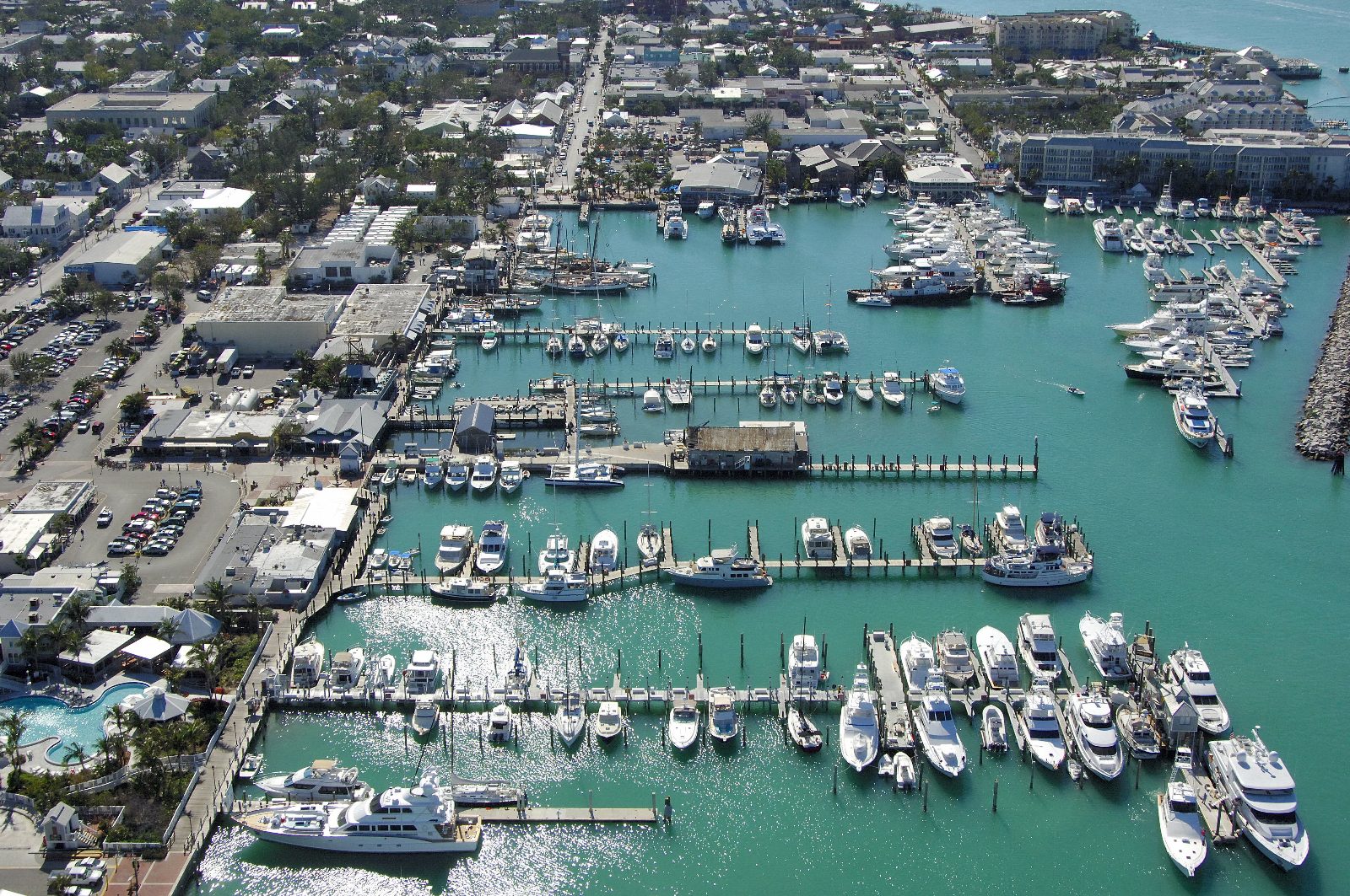
More than 90 percent of the Florida Keys' perimeter touches water, and the island chain has no natural land connection to the North American continent—making boat access not just possible but historically the primary means of reaching these islands before the Overseas Highway opened in 1938. Multiple deepwater channels serve vessels of all drafts. Hawk Channel runs the length of the Atlantic side, offering 10- to 12-foot depths between the reef tract and the island shore. The Intracoastal Waterway threads through Florida Bay on the Gulf side, favoring shallow-draft vessels and providing calmer conditions during easterly weather. Offshore routes cross the reef through designated cuts at key intervals—Angelfish Creek, Key Largo Cut, Alligator Reef Channel and Moser Channel among them—each marked by buoys and range lights. Navigational planning centers on tidal conditions, chart familiarity and visual piloting skills. The shallow banks surrounding the islands amplify tidal currents, and many channels narrow to widths under 100 feet between coral heads. NOAA chart 11451 remains the authoritative reference, supplemented by real-time GPS but never replaced by it—GPS coordinates lose meaning when a six-foot keel approaches a four-foot shoal. Arriving by boat to the Florida Keys demands attention to channel markers, current tables and local knowledge of submerged hazards that don't appear on digital screens. Marina infrastructure clusters at Key Largo, Islamorada, Marathon and Key West, with transient slips, fuel docks, pump-out stations and haul-out facilities. Most marinas monitor VHF channel 16 for hail calls. Advance reservations are necessary during winter months and holiday weekends when transient capacity fills quickly. The official NOAA site for the Florida Keys National Marine Sanctuary provides updated navigational notices, weather advisories and resource protection zones that restrict anchoring in certain areas to preserve seagrass beds and coral. Seasonal factors influence passage planning. Winter cold fronts generate northwest winds that roughen Gulf waters and flatten seas on the Atlantic side. Summer thunderstorms build predictably each afternoon, obscuring visibility and producing dangerous lightning over open water. Hurricane season runs June through November, requiring continuous weather monitoring and flexible departure schedules.
“The Florida Keys had no natural land connection to the continent before 1938, making maritime arrival the original—and in many ways still the most authentic—way to reach these islands.”
The Florida Keys are accessible by boat via the Atlantic Ocean or the Gulf of Mexico, with the Intracoastal Waterway serving as a primary route for vessels navigating from the Florida mainland. Mariners should plan their approach based on draft requirements and local channel markers.
Intracoastal Waterway (ICW) to Florida Keys
Atlantic Ocean approach via Hawk Channel
Gulf of Mexico approach via Florida Bay
Prioritize arrival between 07:00–17:00 to utilize daylight for identifying navigational markers and avoiding shallow flats. Review official resources at https://floridakeys.noaa.gov before departure.
The best arrival window for boating in the Florida Keys is 07:00–17:00. This period provides essential daylight to safely navigate shallow flats and clearly identify navigational markers.
Dry, mild, 70s–80s°F
Stable weather conditions prevail during these months. Visitors should remain vigilant regarding tidal changes.
Warm and humid, 80s–90s°F
Summer months bring higher temperatures and increased chances of afternoon thunderstorms. Plan transit accordingly.
Pleasant, 70s–80s°F
Post-hurricane season months offer favorable conditions for maritime travel. Early starts help avoid midday heat.
Verdict: The most effective window for boat navigation is between 07:00 and 17:00 during the months of April or October.
Navigating the public waters surrounding the Florida Keys does not require an entrance fee. However, costs for boaters typically involve expenditures at private facilities.
Verdict: A typical boater pays 0 USD for water access, though individual costs vary significantly based on chosen marina and service provider requirements.
The waters surrounding the Florida Keys are accessible to boaters at all hours throughout the week. While the area remains open continuously, navigational safety is prioritized during daylight hours.
Navigating the waters of the Florida Keys requires strict attention to marine conservation and specific local depth conditions.
Understand sanctuary zones
Use trim and tilt
Practice seagrass awareness
Respect marine wildlife
Everything you need to know about can you take a boat to the florida keys
Yes, you can take a boat to the florida keys, as the region is a popular destination for maritime travel. Access is widely available via various public waterways and private marinas located throughout the island chain.
Navigating the florida maritime trails requires caution due to shallow areas and coral reefs. Following established navigational markers is essential to ensure safety while you explore the area.
The best arrival window is 07:00–17:00. Arriving during these daylight hours ensures safe navigation of shallow flats and proper identification of navigational markers.
There is a 0 USD entrance fee to navigate surrounding public waters. Keep in mind that marina fees vary depending on the facility and services required.
Yes, there are specific regulations to protect the marine ecosystem, including the Florida Keys National Marine Sanctuary. Operators should visit the official site at https://floridakeys.noaa.gov to review current policies before setting sail.
Families can certainly enjoy the experience, provided the boat is equipped with necessary safety gear for children. Many boaters find that planning a trip to the florida keys offers a unique perspective on the marine environment.
When navigating the shallow flats, it is crucial to remain vigilant for hazards and follow posted channel markers. Utilizing high-quality charts or GPS navigation is recommended to avoid grounding your vessel.
To plan a boat trip to the florida keys, verify your route and check weather conditions in advance. Ensuring you have a secure spot at a marina is a smart logistical step for your arrival.
Florida Keys Dolphin Boat Tours
Read more Tickets & toursFlorida Keys Stargazing Boat Tours
Read more GuideFlorida Keys Boat Trips from Fort Myers
Read more Tickets & toursPrivate Boat Tours in Florida Keys
Read more Tickets & toursFlorida Keys Glass Bottom Boat Tours
Read more Tickets & toursFlorida Keys Sandbar Boat Tours
Read more Tickets & toursBoat Tours to Florida Keys from Miami
Read more